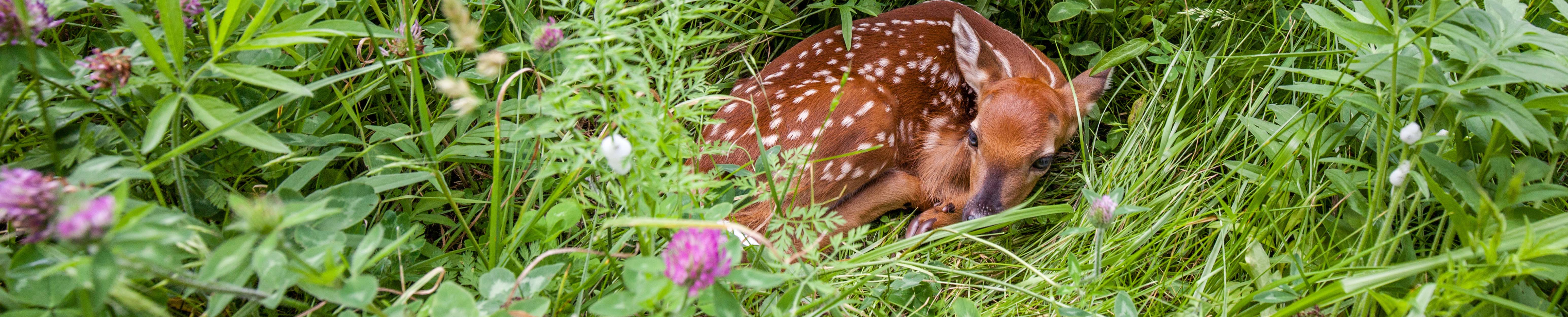


The VPA Tracts total 3,134 acres and are managed as part of Chattahoochee Fall Line WMA. These tracts offers archery hunting opportunities for deer. Turkey and small game may be hunted with all legal weapons. No ATVs or horses. Hunters must check kiosk daily for prescribed burning schedule and locations. Hunters utilizing these areas for deer or turkey hunting should be sure to check their game using Georgia Game Check and select Public Land option, Marion County, and then Chattahoochee Fall Line VPA (for the tracts below only).
Kiosk and hunt maps for all CFL VPA tracts are located on young road.
The Chattahoochee Fall Line WMA is made up of 4 management tracts:
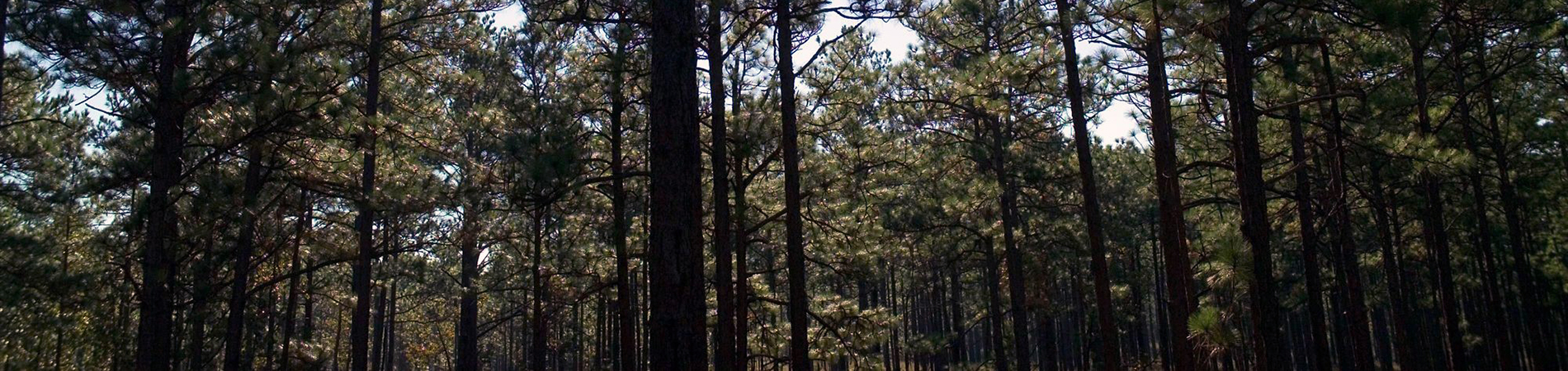
The Chattahoochee Fall Line WMA was created through a partnership between the DNR, The Nature Conservancy and the U.S. Army at Fort Benning. Through the Army Compatible Use Buffer program, ecologically significant land near the military installation’s border is protected from development that is incompatible with the installation’s national security mission.
Collectively, these areas form a landscape of priority habitats that have enormous potential for ecological restoration, including expansion of a fire-managed longleaf pine ecosystem beneficial to the red-cockaded woodpecker, gopher tortoise and other imperiled species. Individually, they provide for more public recreation lands for such activities as hunting, hiking, fishing, camping, and wildlife viewing.
VPA Tracts
Chattahoochee Fall Line includes Voluntary Public Access (VPA) properties. Since 2014, the Wildlife Resources Division has been able to enhance and add to its WMA program through additional temporary agreements with private landowners for public hunting opportunities thanks to a USDA grant.
- Brown Springs Tract: 1,174 acres
- Ingram Tract: 935 acres
- Parker Mill Creek Tract: 633 acres
- WR Bean Tract: 391 acres
Directions
From junction of Highway 80 and 355: Go south on Highway 355. Tracts are located on Doctor Brooks Road, Pine Knot Road, Parker Mill Road, and Highway 355. Distance to tracts is between 4 and 10 miles from Highway 80.