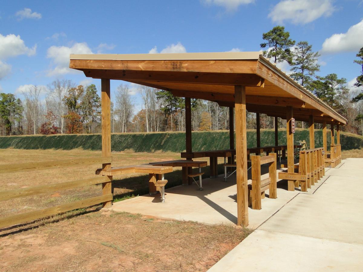


The Cedar Creek Shooting Range is located on Cedar Creek Wildlife Management Area in Putnam County. This range is made possible by a partnership with the USDA Forest Service and the Wildlife Resources Division. Please note that Green Tip or armor piercing ammo is not allowed at the range.
Please watch the required range safety video before heading out to your local range as they can have little to no cell reception. Follow the steps below to complete the required form.
- Visit GoOutdoorsGeorgia
- Go to License & Permits where you’ll be prompted to log in and select ‘Purchase Licenses’
- At the bottom of the page under the ‘Specialty’ section, select ‘Range Safety Video Certification’ and add to cart
- Check out
- Watch the video in its entirety and submit
- Select ‘Check Out Now’
- Process order
- Your completed certification will now be tied to your account
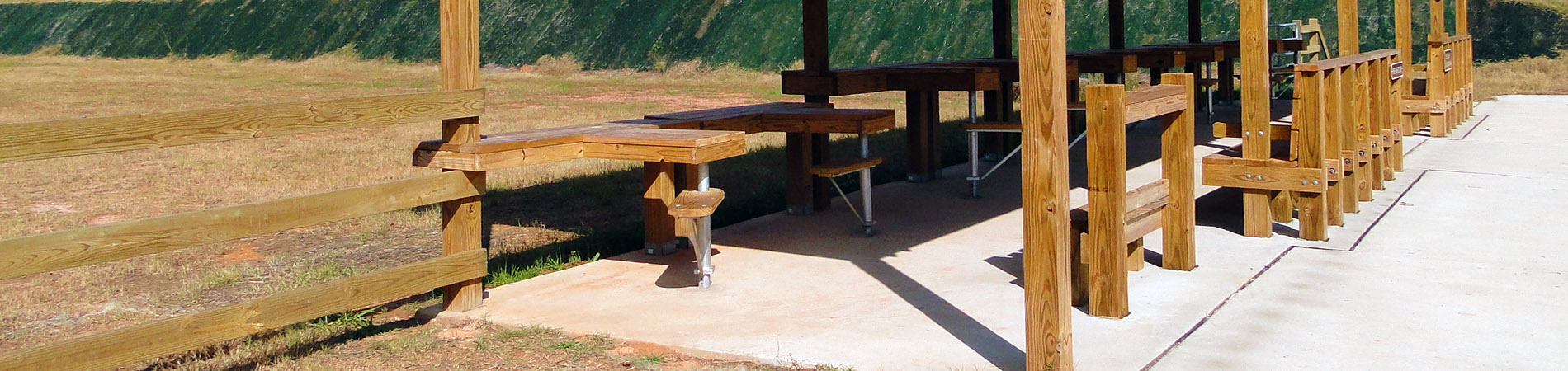
Facilities
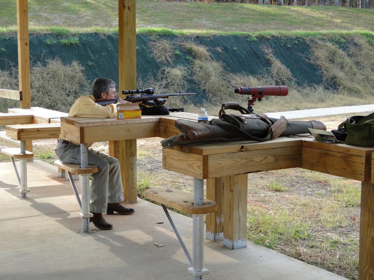
- 100-yard Range
Nearby Properties
- A.H. Stephens State Park
- B.F. Grant WMA
- Bartram Forest WMA
- Charlie Elliott Wildlife Center
- Clybel WMA
- Echeconnee Creek WMA
- Hard Labor Creek State Park
- High Falls State Park
- Indian Springs State Park
- Jarell Plantation State Historic Site
- Marben PFA
- Oaky Woods WMA
- Panola Mountain State Park
- Oconee WMA
- Redlands WMA
- Rum Creek WMA
- Walton WMA & Hatchery
Directions
From Monticello: Take Highway 212 southeast for 12.6 miles to Bradley Road. Turn right and go 1.4 miles to the shooting range.
From Gray: Go North on Highway 129 to the intersection of Highway 212/129, turn left onto Highway 212, go 5 miles to Bradley Road, turn left,1.4 mile to range on right.
From Milledgeville: Go West on Highway 22 to the intersection with Highway 212. Turn right onto Highway 212 towards Monticello, go 17 miles and turn left on Bradley Road. Go 1.4 mile to range on right.
From Eatonton: Go west on Highway 16 to Highway 441 south Bypass, turn left on 441 Bypass. Go 1.1 miles and turn right on Glenwood Springs Road. Go 8.3 miles, turn left on Standfordville Road. Go 1.7 miles to dead end, turn right on Rabbitskip Road, cross over Highway 212, and go 1.4 miles to Shooting Range on right.
Gallery