Red (History) Trail
1 mile one way | 1 to 2 hours each way | Blazed red | Rated easy to difficult
The Red Trail, after half a mile, takes you to the impressive five-story New Manchester mill ruins alongside the white-water rapids of Sweetwater Creek and is the recommended hike for first-time visitors. New Manchester was a mid-nineteenth century mill town which met its demise during the Civil War. A history guide for the Red Trail is available in the Interpretive Center. The second half mile of the Red Trail, downstream of the mill, continues to follow the rapids to the Sweetwater Falls area and is considerably more strenuous because of the very rocky terrain. The Red Trail is the most frequently used trail in the park because it’s the shortest trail to the mill ruins and best showcases the beauty of the creek valley.
White Trail
5.2 mile loop | 2.5 to 3 hours | Blazed white | Rated moderate to difficult
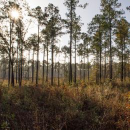
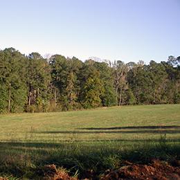
The White Trail is a 5.2 mile loop that passes through some of the most remote areas of the park. It intersects with the Red Trail at the overlook of the New Manchester mill ruins at the one mile mark. This trail was specifically designed to highlight the park’s wildlife and plant communities. The trail winds through several lovely stream coves and follows the ridges overlooking Sweetwater Creek. It connects to the end of the red trail then follows the rapids down the creek. The trail then turns west and follows Jack’s Branch upstream to Jack’s Lake. After climbing out of the lake valley, the trail passes through the Jack’s Hill area, a former farming community now known for its open meadows which are a favorite of bird watchers.
Yellow (East Side) Trail
3-mile loop | 1 1/2 to 2 1/2 hours | Blazed yellow | Rated moderate to difficult
The Yellow trail is accessed by starting on the Red Trail at the Interpretive Center then turning left where the red trail meets Sweetwater Creek. It then heads upstream to the bridge across Sweetwater Creek. After crossing the bridge the trail turns downstream where, just past the wooden footbridge, you will find a fork in the path. Those wishing for a more gradual ascent up to the ridge are advised to take the trail to the left (clockwise around the loop). This trail passes through some of the most beautiful hardwood forests in the park and has an elevation gain of approximately 350 feet. As the trail descends through the ravine on the south side of the loop, look for the large rock overhang on the left. Archeologists estimate that Native Americans used this as shelter for several thousand years. To protect this area do not climb on the slope or the rocks. When the trail leaves the ravine and levels out you will be walking through many dense stands of Mountain Laurel (beautiful in the spring when they bloom). This is also the area where the bricks for the New Manchester mill were made in the late 1840s.The extraction pits are visible from the trail in the winter.


