Locator Maps of Properties
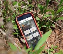
Interactive Map of WRD Properties
View a map of all Wildlife Management Areas, Public Fishing Areas, Shooting Ranges and Education Centers in Georgia!
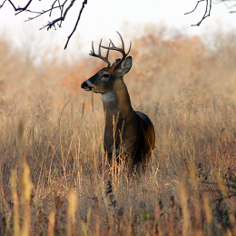
Public Hunting
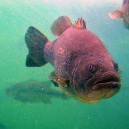
Public Fishing
Shooting & Archery Ranges
Boat Ramps
Hatcheries
Education Centers
Lists of Properties
Wildlife Management Areas (WMAs)
The primary purpose of Wildlife Management Areas is to support wildlife conservation in the state and allow public access to hunting, fishing and other outdoor recreational activities. Visit each WMA page for accommodations, activities, contact information and access fees.
Public Fishing Areas (PFAs)
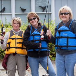
Public Fishing Areas are great places for family outings. Currently, there are 11 PFAs located around the state. You can fish from the bank or a boat, picnic, hike, watch wildlife, and enjoy being outdoors. Visit each PFA page for accommodations, activities, contact information and access fees.
Hatcheries
There are ten hatcheries throughout the state. These facilities are where WRD produces millions of sport fish that we stock across the state in order to support anglers in Georgia.
Shooting & Archery Ranges
Public archery and firearm ranges are open throughout the state for all target shooters. Visit each range page for facilities, contact information and access fees.
NOTICE: The Georgia Department of Natural Resources’ Wildlife Resources Division has received the completed Finding of No Significant Impact (FONSI) letter to construct the Bartow County archery range located on Cass Pine Log Rd in Bartow County, GA. Interested parties can review the FONSI for more detailed information through June 15, 2025.
Boat Ramps
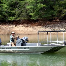
Georgia has over 150 public boat ramps around the state. Use the map to find boat ramps in your area!
Education Centers
WRD partners with other agencies, school systems and organizations in operating seven regional education centers throughout the state. Environmental educators at the centers teach a variety of subjects related to natural resources conservation and recreation. Field trips, outreach programs and family recreational opportunities abound.
Property Information
Land Access
View required licenses and passes to enter each property.
Closures
View all closed WMA roads, shooting ranges and boat ramps.
Property Boundaries 
Download the KMZ file for DNR property boundaries. Note: Google Earth property boundaries were used as a general reference and are not guaranteed to be 100% accurate.
Non-DNR Property Information
Private Land Hunting Access
Find out where and how to hunt on privately owned land, which can be attained via general hunting permission, formal lease contracts, or by joining a preexisting hunting club.


